Residential Services
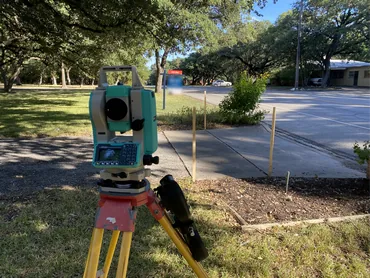
Boundary surveys, lot or property line surveys, and FEMA flood certifications for homeowners and residential properties.
Open pageServices
Speece Geomatics brings together land surveying, mapping, GIS workflows, and drone capability with dedicated pages for Residential Services, Construction Services, GIS Services, and Oil & Gas Surveying.


Dedicated Pages
These pages focus on the strongest parts of the service mix and can keep growing as project photography, mapping examples, and workflow detail are added.
Boundary surveys, lot or property line surveys, and FEMA flood certifications for homeowners and residential properties.
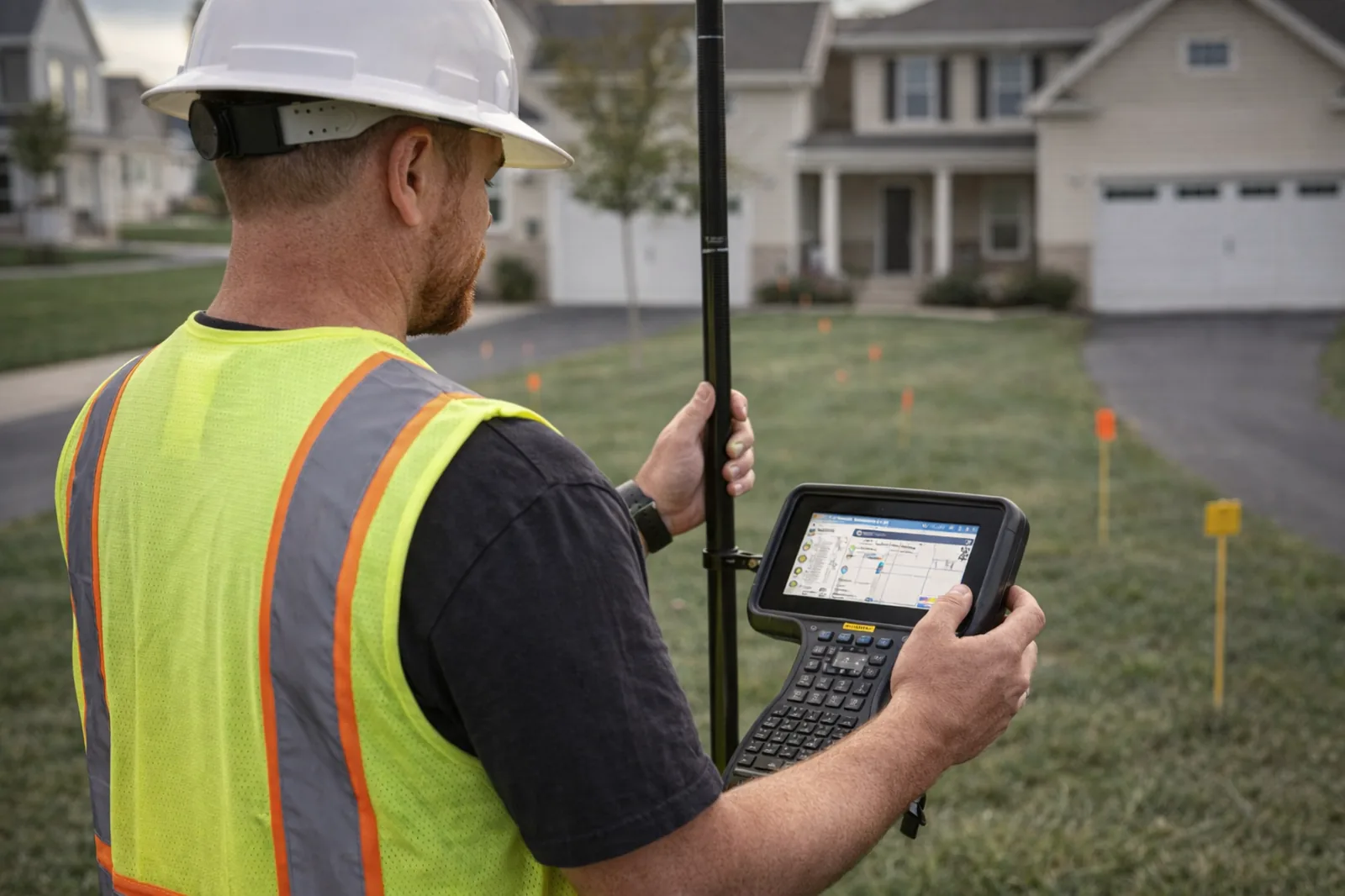
Open pageLayout, control, as-built mapping, field coordination, and documentation for active project sites.
Open pageGeographic information system workflows, mapping, survey integration, and drone-ready geospatial support.
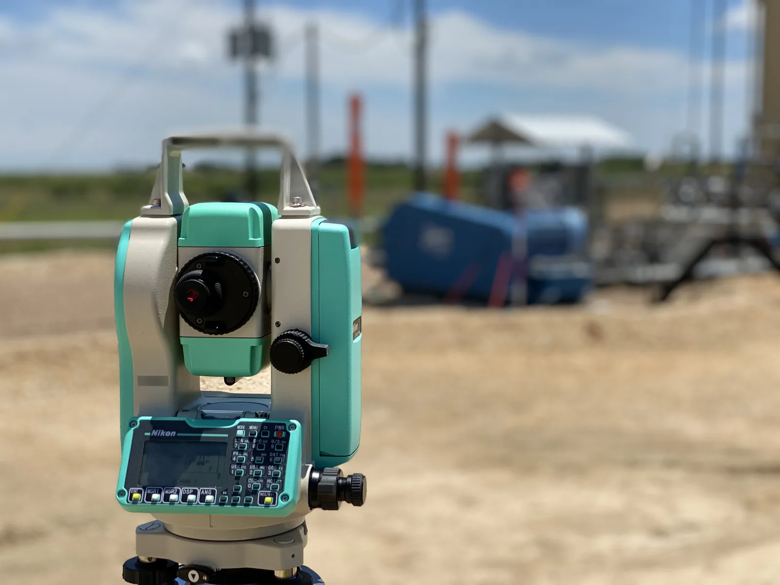
Open pageSurvey support for upstream and midstream work, access, route coordination, facilities, and energy mapping.
Open pageCAD drafting, pipeline alignment sheets, and plat and exhibit production, prepared as preliminary or as-built drawings.
Open pageResidential & Commercial
Residential boundary work can be scoped around Texas Category 1B standard land survey requirements.
View residential pageCategory 1A land title surveys are positioned as a core commercial service line for Speece Geomatics, coordinated with current ALTA/NSPS standards when required.
Boundary survey work for owners, buyers, title teams, and project stakeholders who need dependable evidence, clear mapping, and practical communication around property lines. Where Texas-regulated boundary scope applies, this work is commonly framed around the TSPS Category 1B Standard Land Survey, together with TBPELS minimum standards where they are more stringent.
Survey deliverables prepared to support commercial due diligence, title review, acquisitions, and project coordination when ownership and access questions need clear survey context. Category 1A land title surveys are a key commercial offering for Speece Geomatics, with Texas title work coordinated around TSPS Category 1A Land Title Survey requirements and the current 2026 ALTA/NSPS standards applied when commercial title insurance and lender review are part of the scope.

Elevation information and certification support for floodplain-related documentation where accurate vertical information and clear reporting are needed for permitting, compliance, and flood insurance questions.

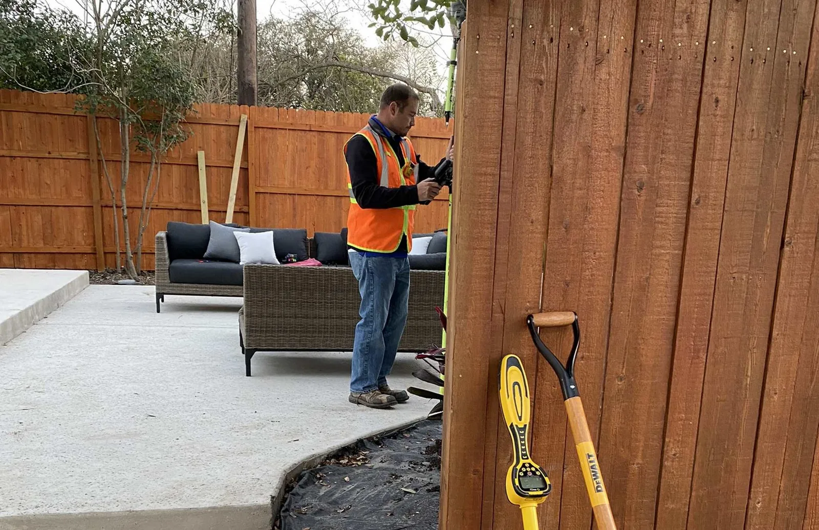
Survey, mapping, and layout support for active construction and infrastructure projects that need dependable field coordination, updates, and organized records. Construction support can include layout, staking, pre-pour foundation checks, and the organized project records teams need from early setup through closeout.
GIS workflows, mapping, and data integration shaped around the needs of oil and gas teams, city infrastructure groups, counties, and survey-driven projects.

Survey support for energy projects that require practical coordination between field crews, project managers, GIS workflows, and operational teams.
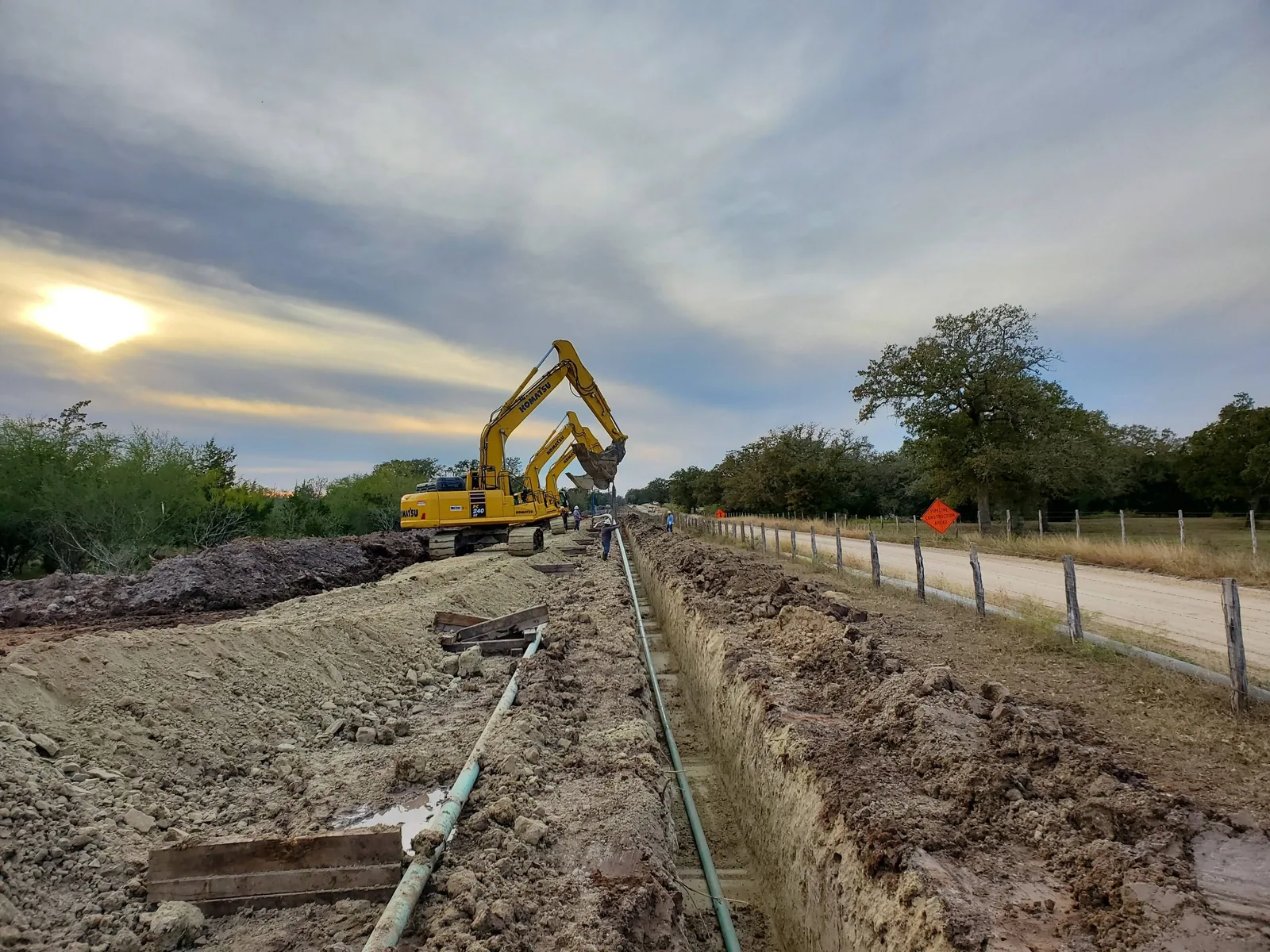
Corridor survey support for route development, utility planning, easement coordination, and projects that move across large areas and multiple stakeholders. For Texas route work, scope can be shaped around TSPS Category 2 Route Survey needs for alignment, right-of-way, and easement documentation.
Survey and mapping support for facilities, substations, industrial sites, and power infrastructure where dependable control, GIS context, and documentation are essential.
Additional Support
Many projects need more than a single service line. The site is structured so property, title, construction, GIS, public-sector, and infrastructure work can be discussed together.
FAA Part 107 capability supporting aerial context, site visuals, and geospatial project workflows.
GIS-ready support for utilities, facilities, networks, and infrastructure systems that need usable records.
Mapping, exhibits, and organized data for counties and public agencies that depend on practical GIS deliverables.
Need A Combined Scope?
Speece Geomatics is ready for bundled service conversations, whether the project is a single lot, a commercial site, a county workflow, or a larger corridor with multiple deliverables.