
Residential Services
Boundary surveys, lot or property line surveys, and FEMA flood certification support for homeowners, buyers, and residential properties.
Learn more →Surveying · Mapping · GIS · Drone Support
Speece Geomatics supports residential, commercial, construction, infrastructure, and energy work with dependable field crews, organized mapping, GIS workflows, and drone-ready deliverables.
Support for property decisions, due diligence, and land records that need clear deliverables.
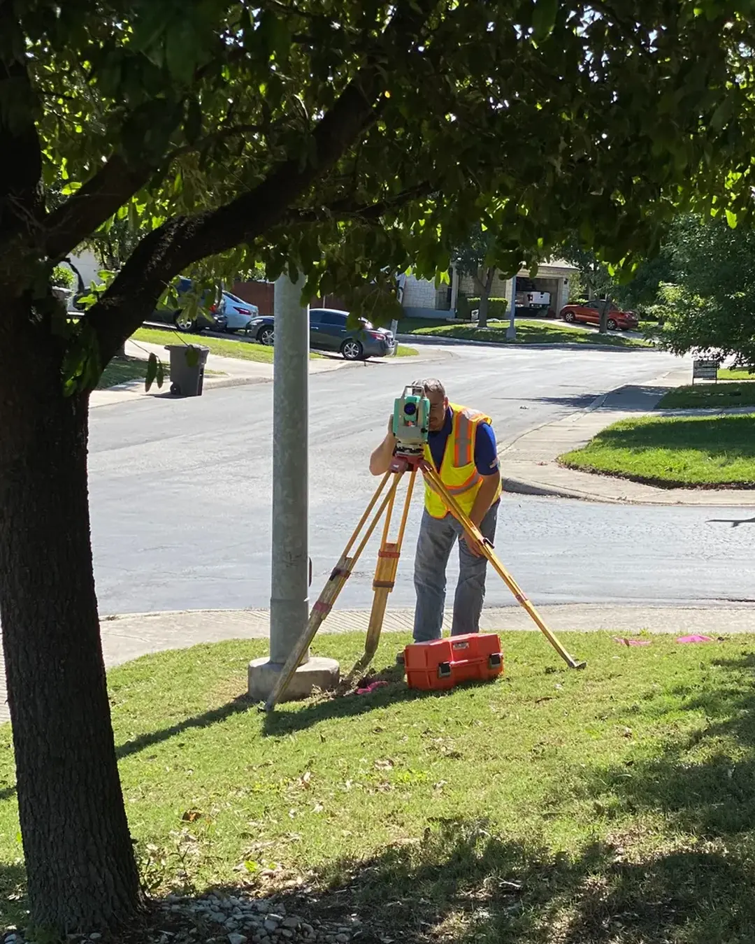
Construction + Infrastructure Field support that stays useful mid-projectCrews and mapping workflows built for site progress, stakeout, and closeout records.
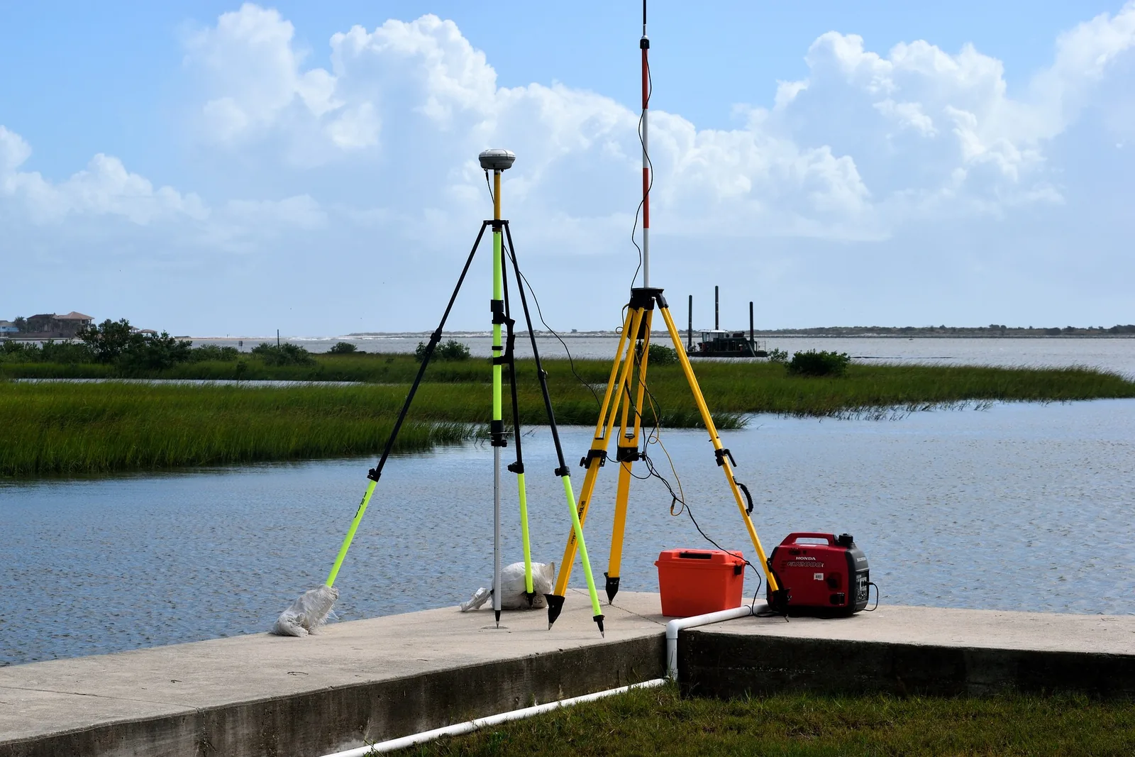
GIS + Energy Geospatial deliverables at scaleCorridor, facility, city, county, and infrastructure mapping support.
About Speece Geomatics
Speece Geomatics pairs land surveying, mapping, GIS workflows, and drone capability with experience supporting residential, commercial, construction, infrastructure, and energy work across licensed and expanding service areas.
The firm is built for clients who want responsive communication, dependable field and office coordination, and geospatial products that help project teams move from due diligence into design and construction.
Field perspective rooted in active surveying work and practical project coordination.
More than two decades of surveying experience across land, construction, infrastructure, and energy-focused work.
Current multi-state licensure supports projects that need broad perspective and room for future regional growth.
Surveying, GIS, drone capture, exhibits, and mapping coordinated around how owners, engineers, and operators actually use them.
Core Services
Our services support residential and commercial properties, active construction projects, GIS and mapping workflows, FEMA flood certification needs, and energy and infrastructure development.
Boundary surveys, lot or property line surveys, and FEMA flood certification support for homeowners, buyers, and residential properties.
Learn more →Survey, mapping, layout, and as-built support for active construction and infrastructure projects.
Learn more →Texas Category 1A land title survey deliverables prepared to support due diligence, title review, acquisition planning, and project coordination under current ALTA/NSPS standards.
Learn more →Flood certification and elevation-related support for property owners, lenders, and project teams.
Learn more →GIS workflows, mapping, survey integration, and drone-supported geospatial deliverables for oil & gas, city infrastructure, and county projects.
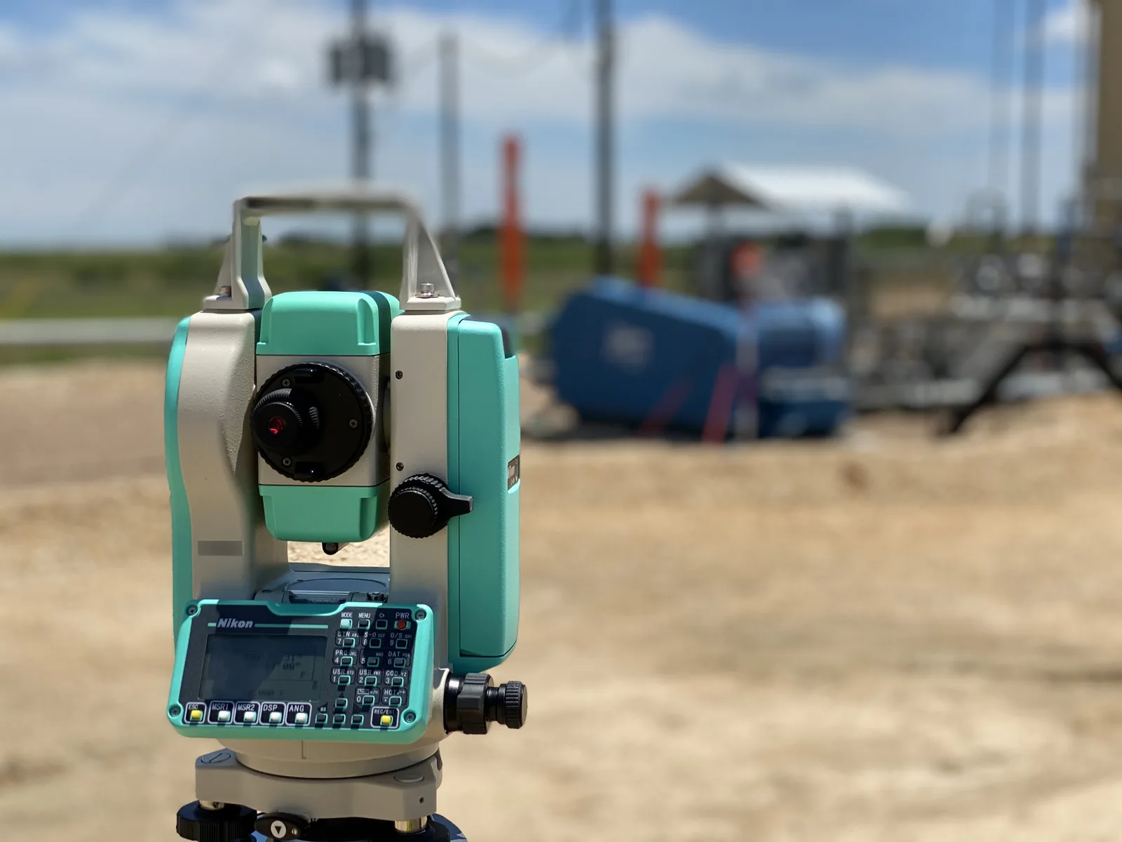
Learn more →Survey support for upstream and midstream projects where access, control, route support, and dependable site information are essential.
Learn more →Corridor survey support for route development, easement coordination, facility support, and utility projects that extend across large areas.
Learn more →Survey support for solar and wind project sites, including site control, layout, and mapping for renewable energy development and infrastructure.
Learn more →CAD drafting, pipeline alignment sheets, and plat and exhibit preparation, provided as preliminary layouts or final as-built drawings.
Learn more →Project Highlights
From boundary and construction support to GIS deliverables and infrastructure mapping, Speece Geomatics is built to provide accurate, professional results across a wide range of project needs.

Who We Support
Speece Geomatics is positioned for a practical mix of residential, commercial, energy, infrastructure, city, and county work that depends on clear survey and GIS deliverables.
Boundary, lot, and flood certification support for ownership, access, and property decisions.
Commercial, title, and construction support that helps projects move forward with fewer surprises.
Survey, mapping, GIS, and drone support for facilities, corridors, pipelines, and active field projects.
Geospatial workflows, infrastructure mapping, and organized GIS deliverables for public-sector teams.
Project Approach
Confirm the project purpose, property or corridor needs, schedule expectations, and the survey deliverables the team will actually use.
Gather field evidence carefully, coordinate around access and project conditions, and keep work aligned with the required level of survey support.
Provide organized mapping, certifications, exhibits, GIS deliverables, or drone-supported project records that keep the next phase moving.
Service Area
Speece Geomatics is built for project support that can travel with the work, with surveying, mapping, GIS, drone, facility, and corridor capabilities ready for licensed and expanding service areas.
Use phone or email for project inquiries, quote requests, and scope discussions.
Licensed and expanding service areas
Residential, commercial, construction, GIS, drone, and infrastructure support for land, energy, city, and county projects.