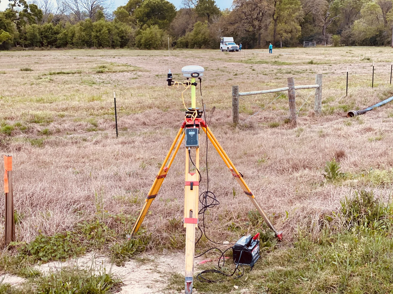
Access & Route Awareness
Survey support that understands the realities of moving work across sites, corridors, and access routes.
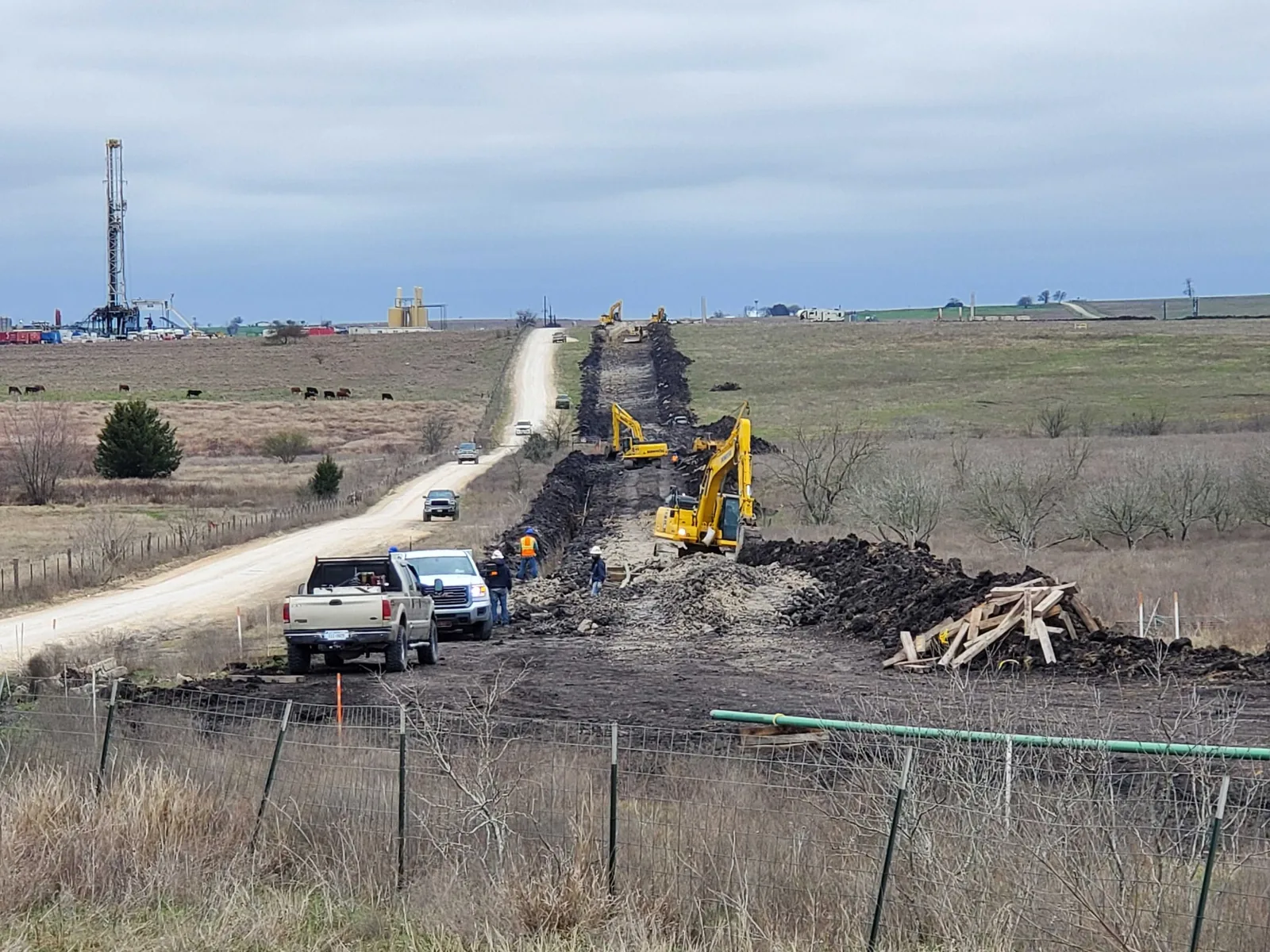
Oil & Gas Surveying
Speece Geomatics is positioned here for upstream and midstream work that needs practical field coordination, dependable documentation, and deliverables shaped around active energy projects.
Energy Project Support
Energy work often demands survey support that can move between field reality and project deliverables without losing clarity. That means understanding routes, access, operations, facilities, and the pace of active project environments.
Speece Geomatics is presented as a practical survey partner for those needs, with experience that connects land surveying, pipeline infrastructure, inspection-minded workflows, and mapping that project teams can actually use.
Survey support that understands the realities of moving work across sites, corridors, and access routes.
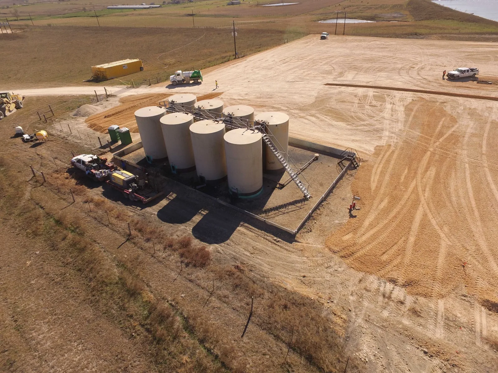
Mapping and survey support for facilities and energy infrastructure where organization matters.
Practical records, exhibits, and survey information prepared for teams working in the field and office.
Core Energy Services
Survey coordination for energy project sites where dependable field information supports decision-making.
Support for corridor planning, route alignment, access coordination, and utility-scale survey needs, including Texas Category 2 route survey support for right-of-way and easement work.
Survey and mapping support for facilities, terminals, power environments, and industrial sites.
Mapping and documentation prepared to help land, engineering, and project teams stay aligned.
Background that supports workflows where field observation, infrastructure awareness, and documentation intersect.
Organized mapping and records that support active operations, planning, and project closeout needs.
Who We Support
Survey support for projects that need dependable field coordination and clear communication.
Route-oriented support where corridor control, access, and deliverable organization all matter.
Surveying and mapping for sites that need organized documentation and practical project support.
Need Energy Survey Support?
Speece Geomatics can support oil and gas, pipeline, corridor, and facility projects that need field-ready survey coordination and dependable mapping.