Control & Layout
Field support for teams that need dependable control, layout context, and organized coordination.
Construction Services
Speece Geomatics supports construction teams with dependable field coordination, organized mapping, and deliverables that stay useful from project setup through as-built documentation.


Construction Project Support
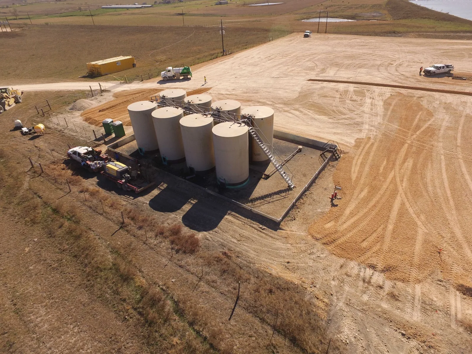
Construction work depends on organized control, dependable updates, and mapping that supports communication between owners, engineers, contractors, and field crews. That often means horizontal and vertical staking, pre-pour verification, dependable updates, and field information that stays usable before and during construction.
Speece Geomatics brings surveying, mapping, GIS awareness, and drone capability together so project information can move cleanly from field conditions into project records and reporting, including foundation or formboard surveys that verify location, dimensions, and elevation before foundation concrete is poured.
Field support for teams that need dependable control, layout context, and organized coordination.
Topographic updates and mapping that help the team track site progress and changing conditions where site relief and feature mapping are needed.
Survey, mapping, GIS, and drone-ready records that support project closeout and long-term use.
Formboard and foundation surveys document the location, dimensions, and elevation of foundations before major concrete placement so the project can confirm layout against plan intent.
Core Construction Services
Control and field coordination prepared for crews and project teams working on active sites.
Checks performed before foundation pours to verify form placement, dimensions, and elevation against the construction plans.
Survey and mapping updates that keep project understanding aligned with current field conditions and site topography.
Support for projects where utilities, drainage, corridors, and infrastructure all intersect.
Project records and mapping deliverables organized for owners, engineers, and contractors.
Deliverables shaped around the decisions and updates field and office teams actually need.
FAA Part 107 capability supporting aerial context, site visuals, and geospatial project workflows.
Who We Support
Survey and mapping support for teams coordinating active work, schedules, and field decisions.
Existing conditions updates, project records, and field information that remain useful through delivery.
Support for utility, site, and infrastructure projects that need clear documentation and dependable mapping.
Need Construction Support?
Speece Geomatics can support construction and infrastructure teams that need dependable field coordination, as-built mapping, and organized project records.