Survey + GIS Integration
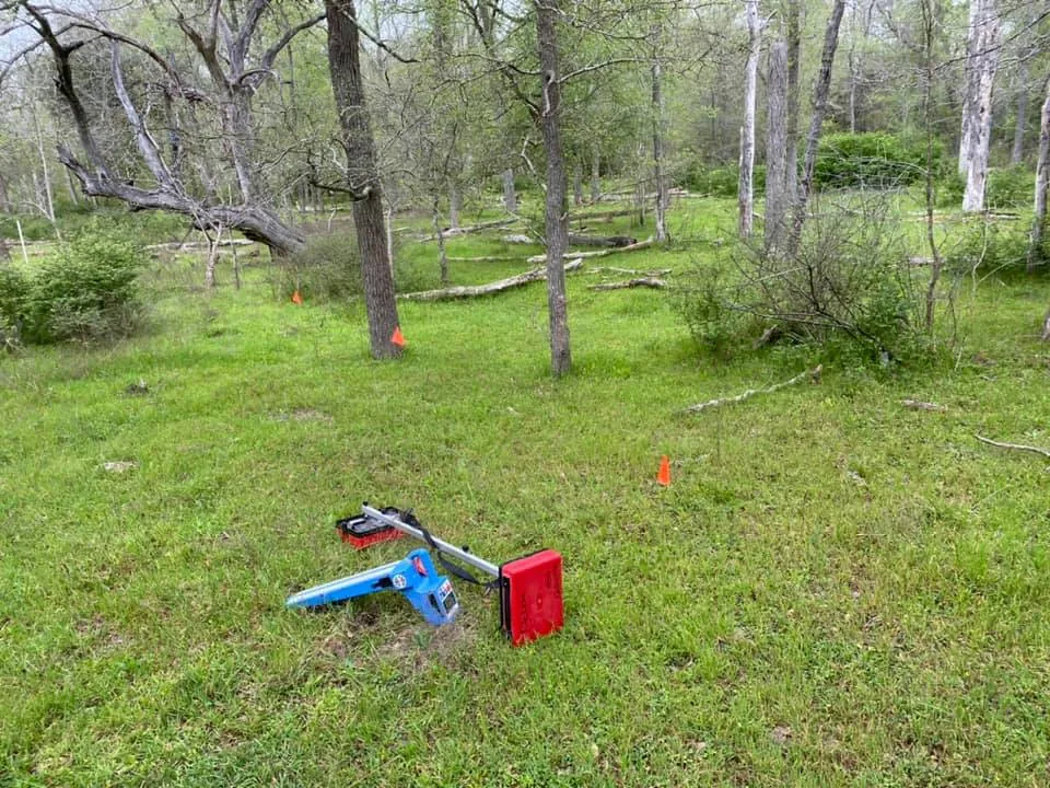
Survey data, mapping, exhibits, and drone deliverables organized into GIS-ready workflows.
GIS Services
Speece Geomatics provides GIS support that connects survey data, mapping, drone deliverables, and project information into workflows teams can actually use in the field and office.


GIS Workflow Support
GIS work is most valuable when it helps teams understand assets, track systems, share map products, and connect survey and field information to real project decisions.
Speece Geomatics supports those workflows with surveying, mapping, GIS, and drone capability that can serve oil and gas teams, city infrastructure groups, county departments, and other project stakeholders.
Survey data, mapping, exhibits, and drone deliverables organized into GIS-ready workflows.
Field-collected as-built data processed, validated, and organized into GIS layers project teams can rely on for closeout and long-term asset records.
Support for streets, utilities, facilities, assets, and systems that need practical geospatial records.
GIS deliverables shaped around map production, data upkeep, and public-facing or internal use.
Core GIS Services
Cleanup, structure, and organization for geospatial data that needs to remain usable over time.
Field-collected as-built data processed and validated into clean, GIS-ready layers for project records.
Clear map products prepared for project teams, stakeholders, field use, and presentations.
GIS support for facilities, networks, corridors, utilities, and physical systems that require geospatial clarity.
Geospatial support for route, facility, asset, and project data tied to energy operations and planning.
GIS workflows for counties, city infrastructure, public assets, and departments that rely on mapping.
FAA Part 107 capability supporting aerial context, site capture, and geospatial project workflows.
Final data and map products packaged for direct use in client or partner GIS platforms.
Who We Support
GIS workflows that support route understanding, asset context, facility mapping, and project records.
Geospatial support for utilities, facilities, networks, street systems, and infrastructure planning.
Mapping, exhibits, and organized geospatial data for departments that depend on usable GIS information.
Need GIS Support?
Speece Geomatics can support GIS projects that need clean mapping, survey integration, drone capability, and geospatial deliverables ready for real-world use.