Plat & Exhibit Production
Boundary plats, easement exhibits, and title survey drawings prepared for recording, review, and closing — available as preliminary drawings or final as-built records depending on where the project stands.
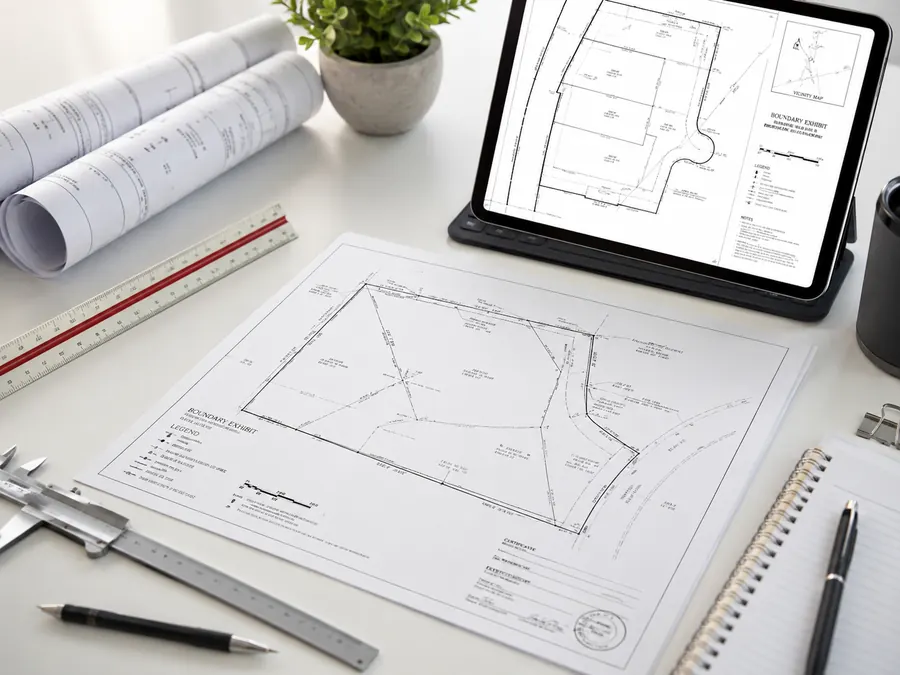
Drafting Services
Speece Geomatics supports the drafting side of every survey, translating field data, research, and control into clear plats, exhibits, and construction-ready drawings that owners, engineers, and title teams can put to work right away.


Drafting Project Support
Good drafting is where field evidence, research, and control actually become something a client, engineer, or title team can read and rely on. That means clear plats, accurate exhibits, and drawing standards that hold up to review — including pipeline alignment sheets and other corridor drawings, whether the project calls for preliminary layout or a final as-built record.
Speece Geomatics keeps drafting connected to the field work behind it, so boundary evidence, topographic detail, construction control, and GIS or drone data all carry through cleanly into the final CAD deliverable.
Boundary plats, easement exhibits, and title survey drawings prepared for recording, review, and closing — available as preliminary drawings or final as-built records depending on where the project stands.
As-built and layout drawings coordinated with field control so project records stay accurate through closeout.
Drafting deliverables that connect cleanly with GIS mapping and drone-captured data for broader project use.
Core Drafting Services
Clear, accurate plats prepared from field-collected boundary and topographic data.
Alignment sheets for pipeline and corridor projects, prepared as preliminary route drawings or final as-built records.
Title survey drawings coordinated with current ALTA/NSPS standards for commercial due diligence.
Plats and exhibits scoped to match the project stage, whether that's early preliminary layout or a final as-built record.
Layout and as-built drafting that keeps construction records aligned with plan intent.
Corridor and easement exhibits prepared for land, legal, and engineering teams.
Elevation certificate drawings and supporting exhibits for flood-related documentation.
Drafting output structured to integrate cleanly with GIS platforms and mapping workflows.
Who We Support
Survey exhibits and plats prepared for title review, closing, and recording requirements.
Base drawings and topographic drafting that support design work from the ground up.
As-built and closeout drawings organized for project records and long-term reference.
Need Drafting Support?
Speece Geomatics can support drafting for boundary, title, construction, and corridor projects that need clean, dependable drawings.